

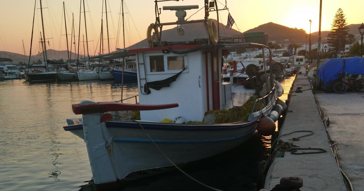
Small-scale fisheries make up around 85% of the EU fishing fleet and provide jobs for about 100,000 people. They are also an important part of the economy, culture and daily life of many coastal communities. Yet we still have limited information on where and how many small-scale vessels operate because they are not always consistently reported or tracked. This makes it more difficult to manage fisheries sustainably, protect marine biodiversity and ensure that small-scale fishing is properly considered when decisions are made about how marine areas are used (also called maritime spatial planning).
The EM4SSF project seeks to bridge this gap by establishing a common framework for the collection, harmonisation and analysis of small-scale fisheries vessel tracking data, developed in close collaboration with local fishers. Coordinated by the Consiglio Nazionale delle Ricerche (CNR) in Italy and co-funded by the European Maritime, Fisheries and Aquaculture Fund (EMFAF), the project brings together experienced partners from Portugal, Spain, Greece, and Denmark.
As Nora Tassetti, EM4SSF scientific coordinator, highlights:
“Small-scale fisheries are essential to coastal communities, yet they still remain largely invisible in the data. EM4SSF’s ultimate goal is to make them visible, not only on a map, but also in the decisions that shape the future of our seas.”
Supporting small-scale fisheries every step of the way
Tracking small-scale fisheries has so far been challenging due to the lack of effective tracking systems comparable to those used on larger vessels. To improve that, EM4SSF focuses on three crucial steps:
- Geo-positional data acquisition in five pilot case studies in the North Sea, the Mediterranean and the Atlantic (off the coast of Italy, Spain, Portugal, Greece, and Denmark) for at least six months, the creation of common data formats and the development of data collection and quality control protocols
- Data collection, validation and creation of the processing tools together with local fishers, authorities, non-governmental organisations and technology providers to ensure that the developed protocols, datasets and spatial maps meet the needs of fishers themselves, improving accessibility and building trust
- Creation of harmonised analysis and data management protocols that can be reproduced across the EU
The results begin to show
As of October 2026, GPS trackers are actively collecting data on small-scale fishing vessels in all five case studies. In Greece, the South Aegean Sea fleet is being tracked for the first time. A successful stakeholder meeting has taken place in the Universitat Politècnica de Catalunya, where agreements on data confidentiality, usability and trust were incorporated into the data analysis design.
The project’s work to make small-scale fisheries more visible and better integrated into maritime spatial planning has already been recognised. During the Atlantic-WestMED Stakeholder Conference in Las Palmas the project won in the ‘’Maritime Spatial Planning’’ category of the Atlantic-WestMED Project Award 2026.
Beyond a common framework
The impact of EM4SSF extends beyond the transformation of geospatial data into reproducible solutions. The project advances scientific knowledge on small-scale fisheries and aligns with Open Science principles, making data easier to access, share and reuse across different platforms.
The project also aligns with the strategic objectives of the European Ocean Pact, protecting marine resources while supporting healthier and resilient coastal communities by enhancing our capacity to assess the ecological and socio-economic impacts of small-scale fisheries.
For further information and updated news on the project, check the project website and follow EM4SSF on LinkedIn, Facebook and X.